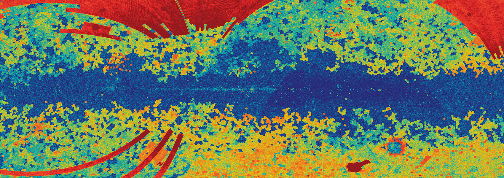
The WISE survey scanning strategy resulted in frameset depth-of-coverage that increased with increasing ecliptic latitude. Over the course of the 13 months of WISE Cryo and Post-cryo operations, 24 independent Single-exposures were typically accumulated at each point on the sky near the Ecliptic plane, and over 6000 exposures were obtained directly at the north and south Ecliptic poles. The extremely large number of framesets involved with Tiles near the Poles exceeded the processing memory and runtime capabilities for source extraction, so coverage was artificially limited to an average depth of approximately 165 framesets for 73 Tiles near the Ecliptic poles (36 in the north and 37 in the south) during the AllWISE Multiframe Pipeline processing.
Although source extraction using all of the available Single-exposure framesets was not feasible for these 73 Tiles, the full-depth coadded image products were constructed using all framesets that satisfied the basic selection criteria. These full-depth image sets are provided to augment the AllWISE Atlas Images.
This dataset or service is made available by the Infrared Science Archive (IRSA) at IPAC, which is operated by the California Institute of Technology under contract with the National Aeronautics and Space Administration.


