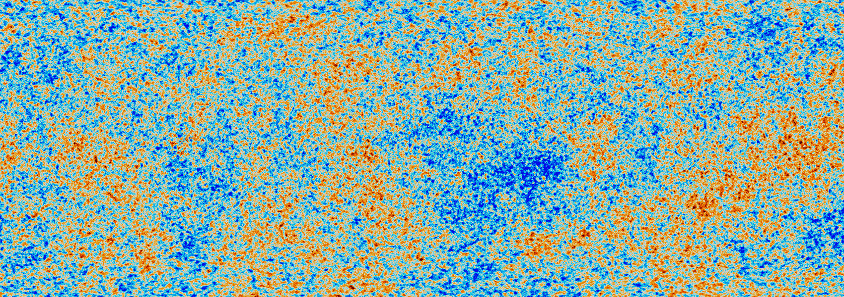
This is IRSA's Hierarchical Progressive Survey (HiPS) node. HiPS is a hierarchical scheme for the description, stoage, and access of sky survey data. The system is based on hierarchical tiling of sky regions at finer and finer spatial resolution which facilitates a progressive view of a survey, and supports multi-resolution zooming and panning.
This dataset or service is made available by the Infrared Science Archive (IRSA) at IPAC, which is operated by the California Institute of Technology under contract with the National Aeronautics and Space Administration.


