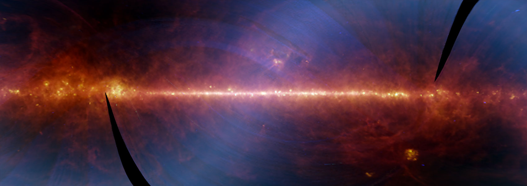
NASA's Wide-field Infrared Survey Explorer (WISE; Wright et al. 2010) mapped the sky at 3.4, 4.6, 12, and 22 μm (W1, W2, W3, W4) in 2010 with an angular resolution of 6.1", 6.4", 6.5", & 12.0" in the four bands. WISE achieved 5σ point source sensitivities better than 0.08, 0.11, 1 and 6 mJy in unconfused regions on the ecliptic in the four bands. Sensitivity improves toward the ecliptic poles due to denser coverage and lower zodiacal background.
The All-Sky Release includes all data taken during the WISE full cryogenic mission phase, 7 January 2010 to 6 August 2010, that were processed with improved calibrations and reduction algorithms. Release data products include an Atlas of 18,240 match-filtered, calibrated and coadded image sets, a Source Catalog containing positional and photometric information for over 563 million objects detected on the WISE images, and an Explanatory Supplement that is a guide to the format, content, characteristics and cautionary notes for the WISE All-Sky Release products.
The WISE All-Sky Data Release Single-exposure Source Working Database contains positions and brightness information, uncertainties, time of observation and assorted quality flags for 9,479,433,101 "sources" detected on the individual WISE 7.7s (W1 and W2) and 8.8s (W3 and W4) Single-exposure images. Because WISE scanned every point on the sky multiple times, the Single-exposure Database contains multiple, independent measurements of objects on the sky.
Entries in the Single-exposure Source Table include detections of real astrophysical objects, as well as spurious detections of low SNR noise excursions, transient events such as hot pixels, charged particle strikes and satellite streaks, and image artifacts light from bright sources including the moon. Many of the unreliable detections are flagged in the Single-exposure Table, but they have not been filtered out as they were for the Source Catalog. Therefore, the Table must be used with caution. Users are strongly encouraged to read the Cautionary Notes before using the Table.
This dataset or service is made available by the Infrared Science Archive (IRSA) at IPAC, which is operated by the California Institute of Technology under contract with the National Aeronautics and Space Administration.


