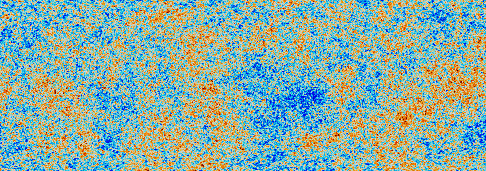
The Bolocam Galactic Plane Survey (BGPS) is a 1.1 mm continuum survey of the Galactic Plane made using Bolocam on the Caltech Submillimeter Observatory. Millimeter-wavelength thermal dust emission reveals the repositories of the densest molecular gas, ranging in scale from cores to whole clouds. By pinpointing these regions, the connection of this gas to nascent and ongoing star formation may be explored. The BGPS coverage totals 170 square degrees (with 33" FWHM effective resolution). The survey is contiguous over the range -10.5 ≤ l ≤ 90.5, |b| ≤ 0.5. Towards the Cygnus X spiral arm, the coverage was flared to |b| ≤ 1.5 for 75.5 ≤ l ≤ 87.5. In addition, cross-cuts to |b| ≤ 1.5 were made at l = 3, 15, 30 and 31. The total area of this section is 133 square degrees. With the exception of the increase in latitude, no pre-selection criteria were applied to the coverage in this region. In addition to the contiguous region, four targeted regions in the outer Galaxy were observed: IC1396 (9 square degrees, 97.5 ≤ l ≤ 100.5, 2.25 ≤ l ≤ 5.25), a region towards the Perseus Arm (4 square degrees centered on l = 111, b=0 near NGC7538), W3/4/5 (18 square degrees, 132.5 ≤ l ≤ 138.5) and Gem OB1 (6 square degrees, 187.5 ≤ l ≤ 193.5). The survey has detected approximately 8,400 sources, to an rms noise level in the maps ranging from 30 to 60 mJy beam-1. The BGPS survey and catalog provide an important database for sub/millimeter observations with the Herschel Space Observatory, ALMA, SCUBA-2, APEX, and others.
This dataset or service is made available by the Infrared Science Archive (IRSA) at IPAC, which is operated by the California Institute of Technology under contract with the National Aeronautics and Space Administration.


