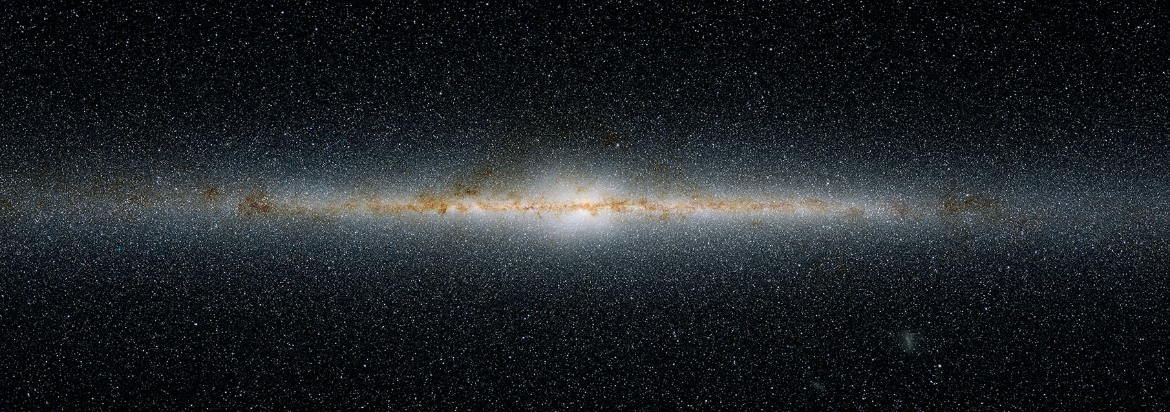
The AllWISE program builds upon the work of the successful Wide-field Infrared Survey Explorer mission (WISE; Wright et al. 2010) by combining data from the WISE cryogenic and NEOWISE (Mainzer et al. 2011 ApJ, 731, 53) post-cryogenic survey phases to form the most comprehensive view of the full mid-infrared sky currently available. By combining the data from two complete sky coverage epochs using an advanced data processing system, AllWISE has generated new products that have enhanced photometric sensitivity and accuracy, and improved astrometric precision compared to the 2012 WISE All-Sky Data Release. Exploiting the 6 to 12 month baseline between the WISE sky coverage epochs enables AllWISE to measure source motions for the first time, and to compute improved flux variability statistics.
The AllWISE Images Atlas is comprised of 18,240 4-band calibrated 1.56°x1.56° FITS images, depth-of-coverage and noise maps, and image metadata produced by coadding nearly 7.9 million Single-exposure images from all survey phases.
This dataset or service is made available by the Infrared Science Archive (IRSA) at IPAC, which is operated by the California Institute of Technology under contract with the National Aeronautics and Space Administration.


